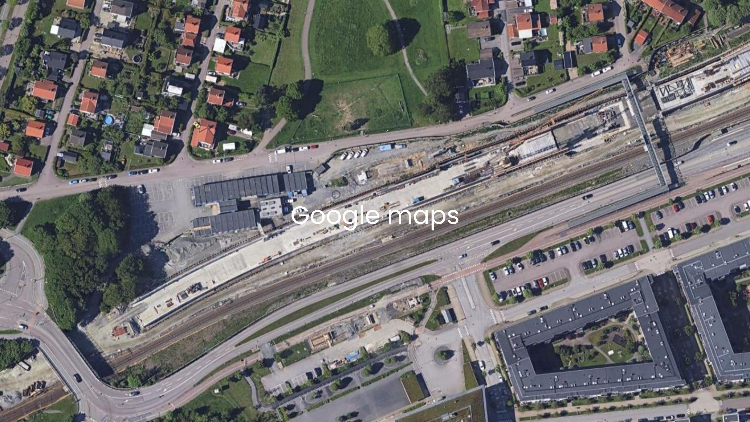
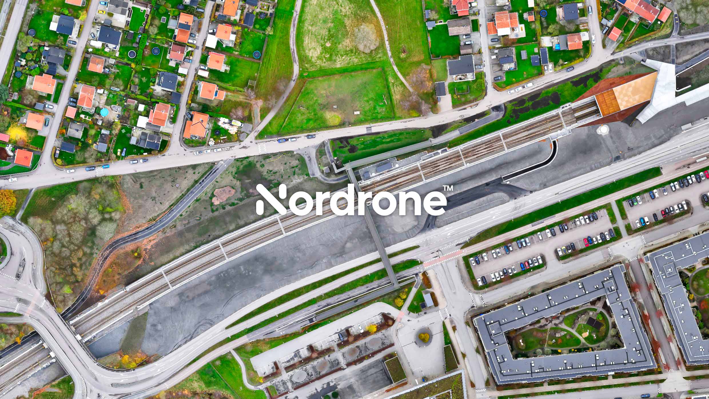
Nordrone - Aerial Intelligence for Infrastructure
Drone Data for Safer, More Efficient Projects
✔ Risk Reduction & Safety – Identify hazards early and reduce presence in high-risk areas with drone data that strengthens safety across the entire site.
✔ Transparency & Alignment – Time-stamped visuals that document progress and create a shared source of truth for teams, stakeholders, and project owners.
✔ Efficiency & Decision-Making – The right data at the right time to prevent delays, reduce rework, and streamline workflows.
✔ Cost Savings – Optimize resources, prevent costly errors, and enable smarter, more cost-effective planning.


Nordrone - Aerial Intelligence for Infrastructure
Drone Data for Safer, More Efficient Projects
✔ Risk Reduction & Safety – Identify hazards early and reduce presence in high-risk areas with drone data that strengthens safety across the entire site.
✔ Transparency & Alignment – Time-stamped visuals that document progress and create a shared, reliable source of truth for teams, stakeholders, and project owners.
✔ Efficiency & Decision-Making – The right data at the right time to prevent delays, reduce rework, and streamline workflows.
✔ Cost Savings – Optimize resources, prevent costly errors, and enable smarter, more cost-effective planning.
Find the Ideal Drone Service Package for Your Project Needs
Tailored drone services for your project’s needs – with precise data, seamless integration, and expert support at every stage.
BASIC
For site supervisors, project managers, and field teams on small-to-medium construction sites – designed for quick site insights and short-term coordination needs.
✔ Orthomosaic Imagery
✔ DSM Elevation Models
✔ Point Cloud Data
ADVANCED
For construction managers, engineers, and surveyors on complex projects – recurring, high-precision data to track progress, catch deviations early, and prevent costly setbacks.
✔ Everything in Basic, plus:
✔ Ongoing Site Monitoring – weekly, monthly, or project-based
✔ 3D Mesh Models
✔ Optional Add-Ons Available
ENTERPRISE
For project owners, infrastructure leaders, and high-stakes initiatives – strategic support and full data integration from planning to handover.
✔ Everything in Advanced, plus:
✔ Weekly Expert Guidance
✔ Priority Support & Full Workflow Integration
Find The Ideal Drone Service Package For Your Project Needs
Tailored drone services for your project’s needs – with precise data, seamless integration, and expert support at every stage.
BASIC
For site supervisors, project managers, and field teams on small-to-medium construction sites – designed for quick site insights and short-term coordination needs.
✔ Orthomosaic Imagery
✔ DSM Elevation Models
✔ Point Cloud Data
ADVANCED
For construction managers, engineers, and surveyors on complex projects – recurring, high-precision data to track progress, catch deviations early, and prevent costly setbacks.
✔ Everything in Basic, plus:
✔ Ongoing Site Monitoring – weekly, monthly, or project-based
✔ 3D Mesh Models
✔ Optional Add-Ons Available
ENTERPRISE
For project owners, infrastructure leaders, and high-stakes initiatives – strategic support and full data integration from planning to handover.
✔ Everything in Advanced, plus:
✔ Weekly Expert Guidance
✔ Priority Support & Workflow Integration
How It Works- Simple, Reliable & Stress-Free
From consultation to delivery, we handle everything—so you can focus on the big picture.
1. Get Started with a Free Consultation
Not sure where to begin? We’ll guide you.
- Find the right drone solution for your project and goals.
- Clear, informed guidance tailored to your needs.
- Know exactly what you’ll get, and why it matters.
Not sure where to begin? We’ll guide you.
- Find the right drone solution for your project and goals.
- Clear, informed guidance tailored to your needs.
- Know exactly what you’ll get, and why it matters.
2. We Plan, You Relax—Clear Pricing & a Custom Flight Plan
- Get a transparent proposal with upfront pricing.
- Receive a custom flight plan built around your schedule.
- No surprises—know what to expect from day one.
- Get a transparent proposal with upfront pricing.
- Receive a custom flight plan built around your schedule.
- No surprises—know what to expect from day one.
3. Permits & Compliance? Leave It to Us.
- We handle permits, airspace, and regulations—from start to finish.
- We navigate compliance so you don’t have to.
- Flights are scheduled efficiently with all requirements in mind.
- We handle permits, airspace, and regulations—from start to finish.
- Navigating compliance is our responsibility, so you don’t have to worry.
- Flights are scheduled efficiently with all requirements in mind.
4. Aerial Data Collection—Without Disruptions
- No disruptions—your site stays fully operational.
- Safe, precise, and efficient data capture.
- We handle everything—you just get the results.
- No disruptions—your site stays fully operational.
- Safe, precise, and efficient data capture.
- We handle everything—you just get the results.
5. Dronedata That Puts You in Control
- Delivered ready to act on – avoid delays, reduce rework, and keep your project on track.
- Recurring, time-stamped aerial data – reduce risk, strengthen alignment, and make smarter decisions at every stage.
- Stay in control with the visibility, accuracy, and confidence your project demands.
- Delivered ready to act on – avoid delays, reduce rework, and keep your project on track.
- Recurring, time-stamped aerial data – reduce risk, strengthen alignment, and make smarter decisions at every stage.
- Stay in control with the visibility, accuracy, and confidence your project demands.
What Our Clients Say
“Nordrone took full responsibility for the assignment – from flight operations to delivering complete orthophotos and surface models. The results gave us a quick and detailed overview during the final stage of the project, and significantly reduced the need for traditional ground surveying. We saved valuable time and were very satisfied with both the quality and accuracy of the final deliverables. It also gave us peace of mind at a critical phase of the project.”
— Niklas Gottschalk, Survey Manager, Skanska Sverige AB
— Anders Magnander, Survey Manager, Skanska Sverige AB
Want to learn more?
Schedule a free consultation today and discover how we can help.